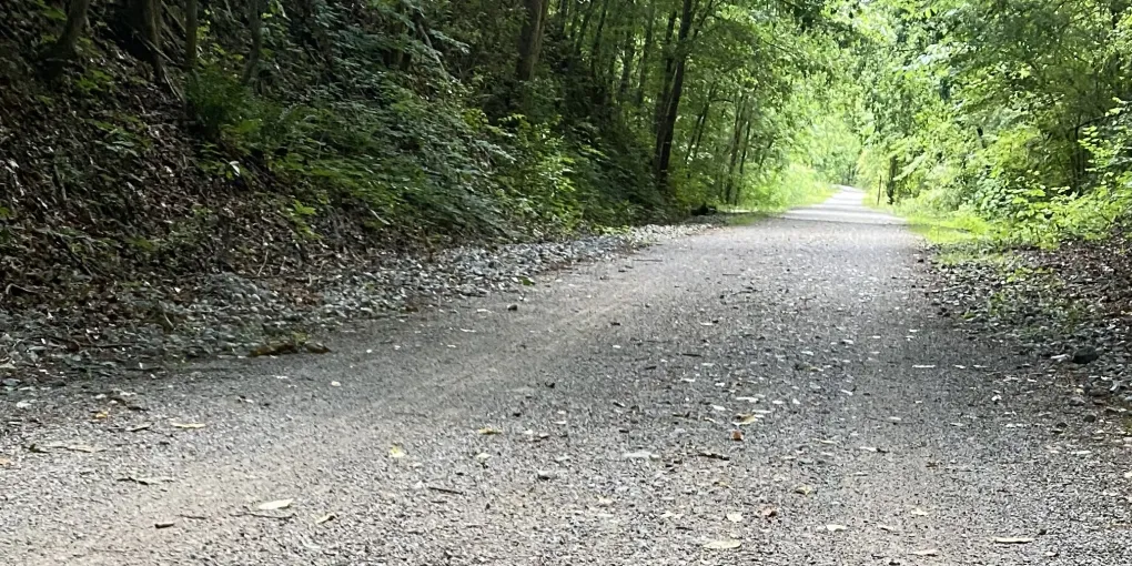
Black Creek Park Rails-to-Trails
Rails-to-Trails Route
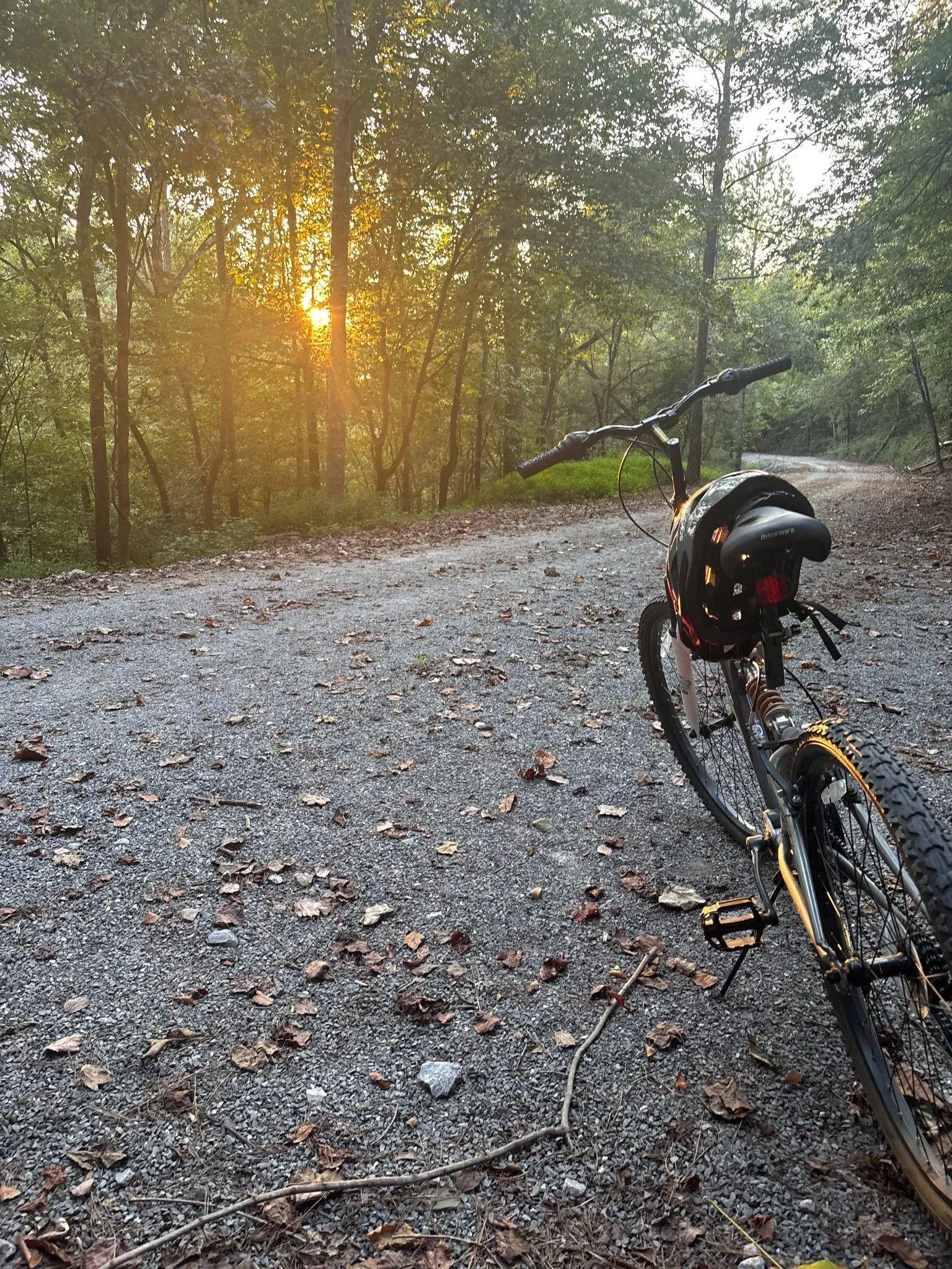
This beautiful area is my most frequent hiking and biking trail. There are several trails that make up the system so you can add variety to your routes. The only one open for bikes is the rails-to-trails. When I was a young boy, my friends and I used a compass and contour map to hike behind our neighborhood and join with the railroad track and follow it to a railroad crossing. We were uneasy when we came upon a hobo camp but, thankfully, it was empty.
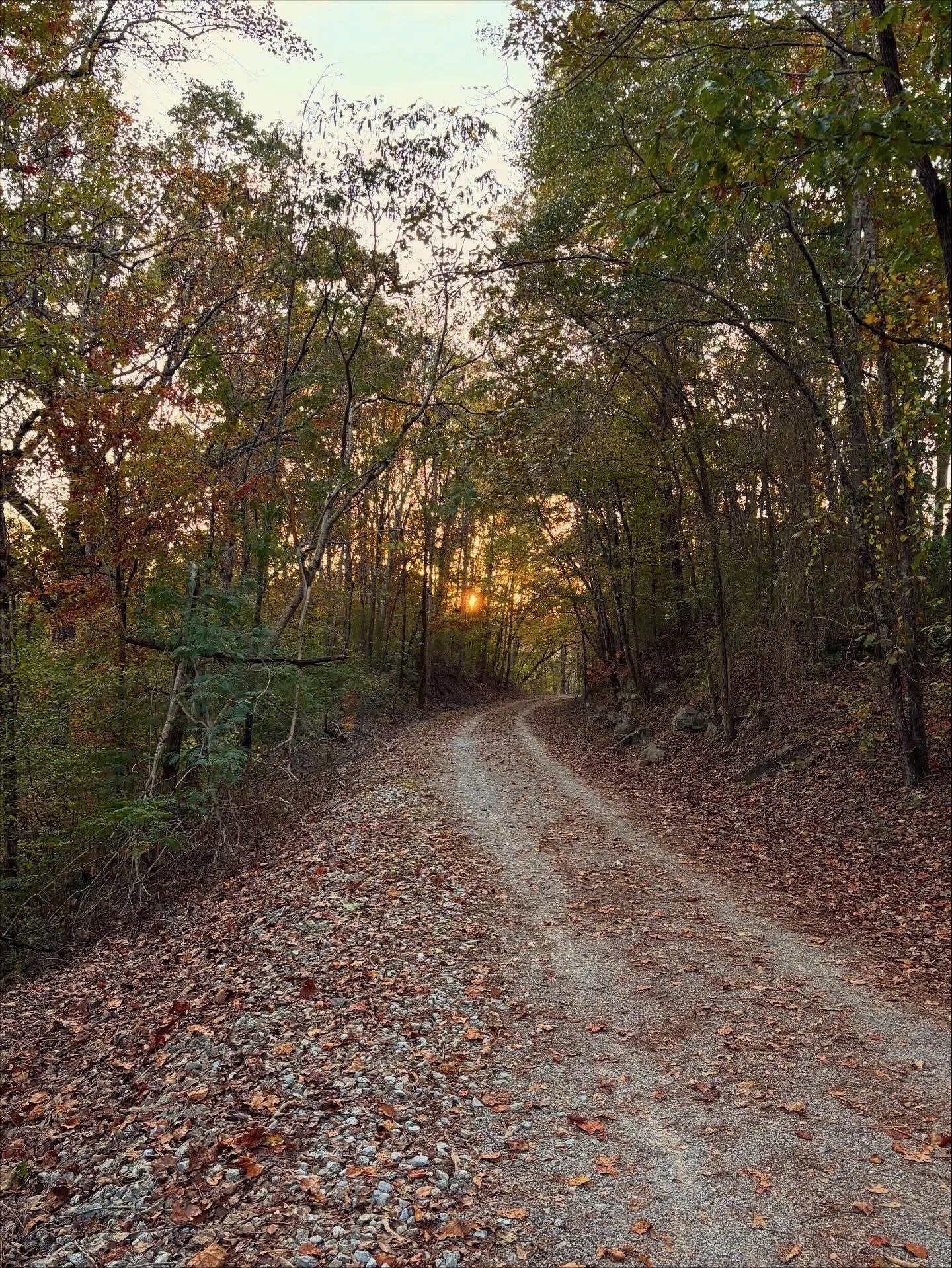
It is a pleasant trail even in a hot and humid Alabama summer as much of the trail is under a tree canopy and sections of trail passing through the hill cuts are quite cool. There are people on the trail at all hours and occasionally a fox or deer may cross your path. There are a few side trails that allow access from the main trail to the adjoining creek.
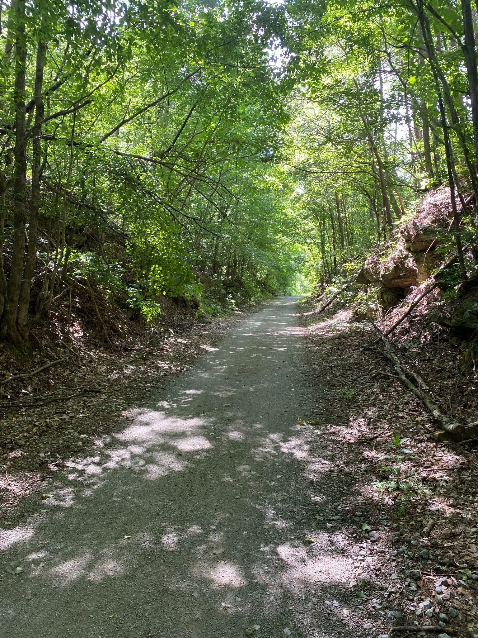
If you are going to bike, I’d recommend parking at Black Creek Park. There is plenty of parking and restroom facilities. I usually ride the road to the top of the hill, then take a right by the old railroad signal and ride the canopy trail down to the bridge that ends at the bridge (closed) over Carson Road. You even ride or hike over the old railroad trestle which is really cool. This trail section is 0.6 miles so you can get about 1.2 miles just going to the bridge and back. If, after returning from the bridge, you continue across the road, you will follow the trail under the Highway 31 overpass and cross Stouts Road. You will see the Bark Park to your left. There are restrooms there and another place to park (you can also park in one of the few spots along the creek where Leora Road parallels the trail).
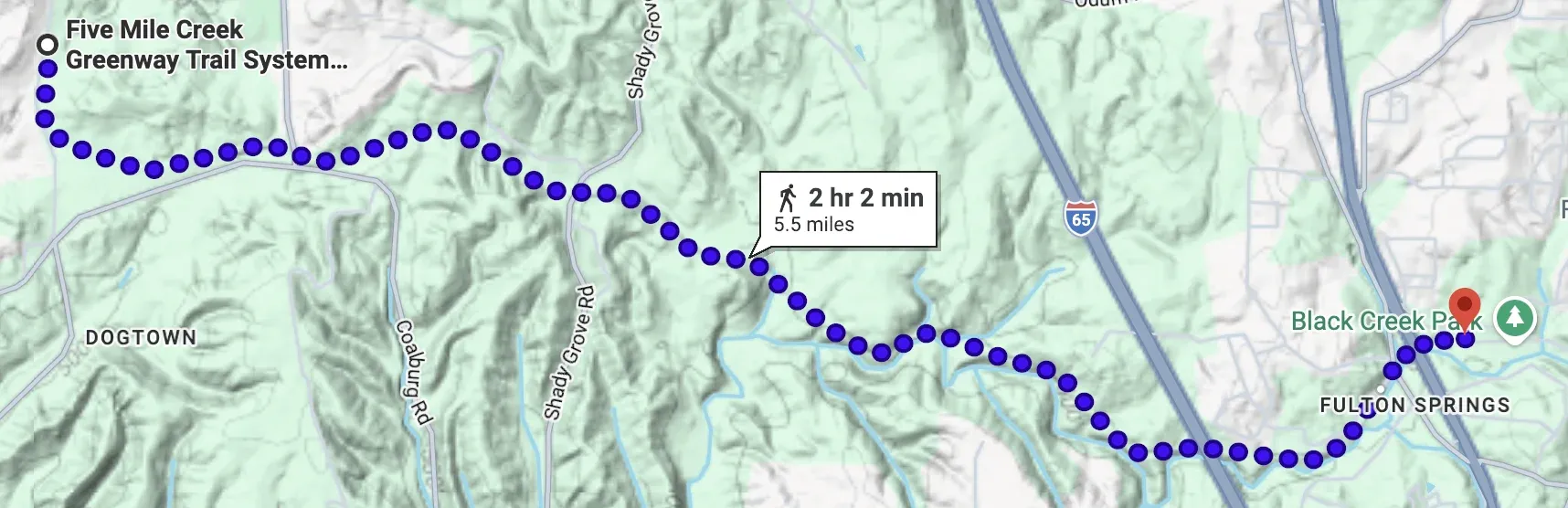
From here the trail continues to follow the old CSX Cain Creek Railroad that ran from the mines to Birmingham. This section, the first opened, is 3.5 miles from Black Creek Park to Stouts Road. It is a mostly flat gravel trail that is well marked, with some benches, trash cans, and a covered area about 2 miles up the trail. You will see bikers, runners, and walkers year-round.
The trail crosses Shady Grove Road and there are a very few parking spaces at the bottom of the hill. This is another trailhead if you are biking or want to explore the trail from different angles. It is another 2.5 miles from Shady Grove Road to the Powder Mill Parking Area (4250 Powder Mill Rd, Mt Olive, AL 35117). So from the Powder Mill Parking Area to the bridge at Carson Road, the trail is 8.5 miles. As noted, there are several places you can park and vary your route or go shorter distances.
To learn about the history of this mineral railroad, visit Birmingham Rails.
Black Creek Park
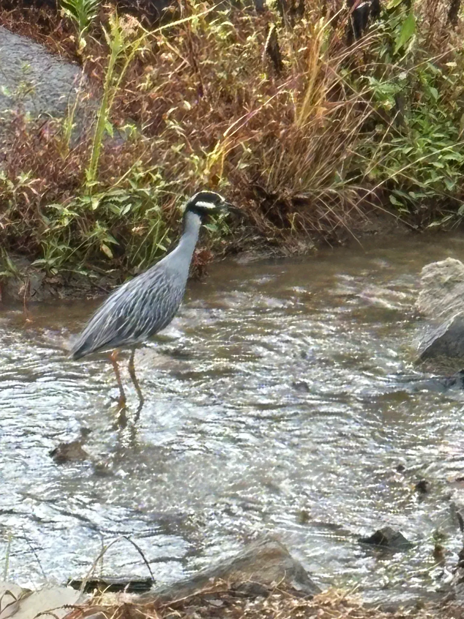
If you want a simple circuit trail, and convenience to jump onto the rails-to-trails, there is a multi-loop trail at Black Creek Park, a large section follows the creek where you can see fish playing or birds fishing. There is an outer loop and an inner loop and access to the railroad trail. The outer loop is about one mile. There is also an outdoor workout area with some exercise machines. If you are there on a game day, the concession stand will also be open.
For directions to Black Creek Park and Bark Park go to this site.
The Bark Park
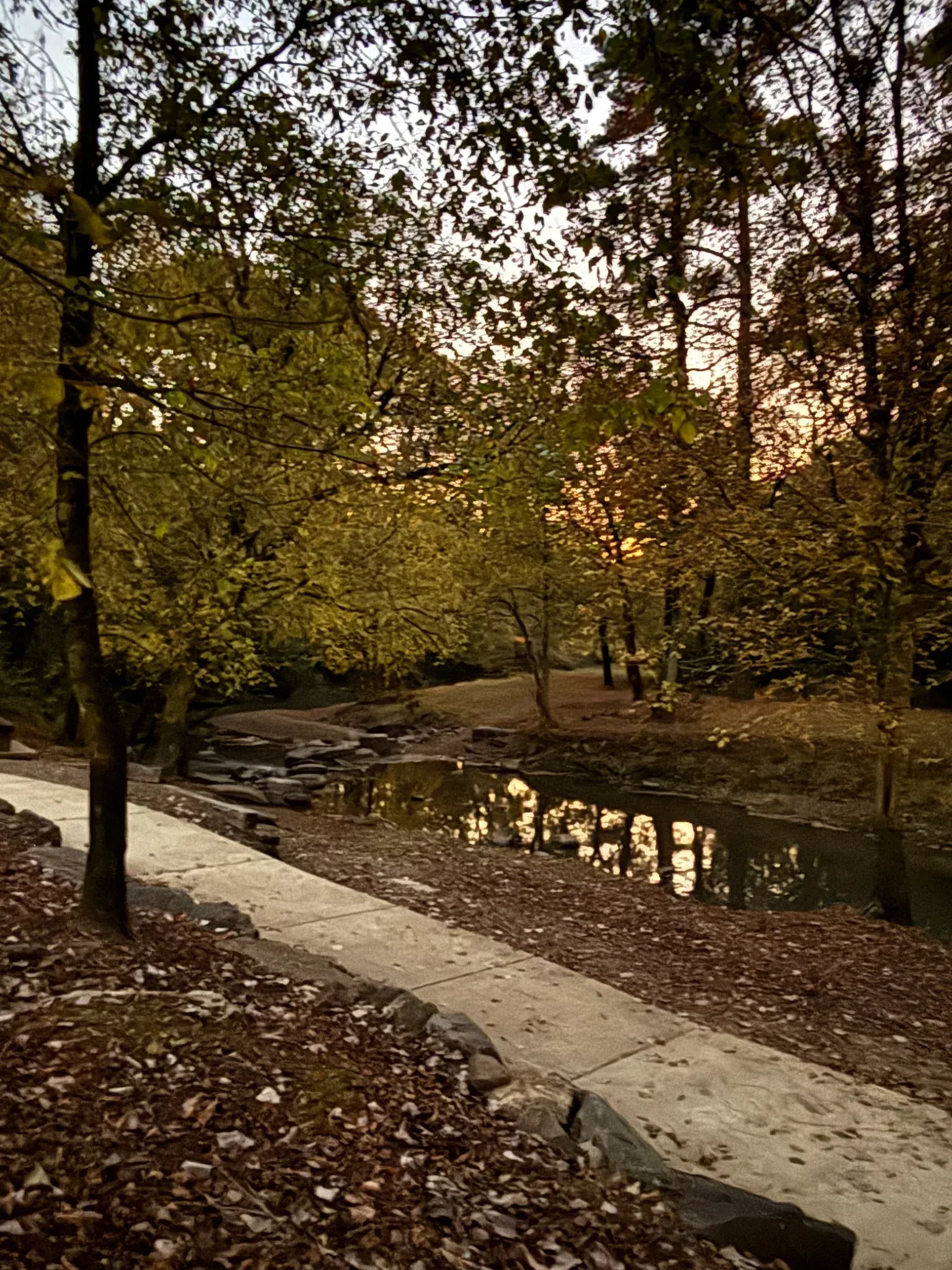
The Bark Park also has a multi-loop trail so you can take the outer trail along the shallow creek and make a shorter turn back to the parking area and play area, or take the outer loop which includes a hill going to an upper parking lot.
If you are adventurous, you can cross the rocks at the end of the outer loop and climb the hill to join the railroad trail. I haven’t measured it but the outer loop is much shorter than the Black Creek Park Trail, probably just over 0.5 miles.